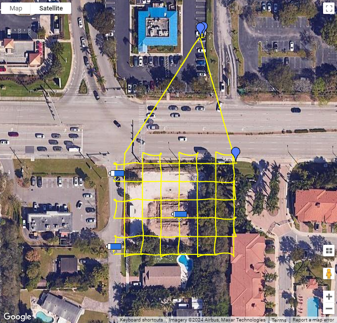
Package Includes 4 Visits to your sechedule

Package Includes

Package Includes
Weekly, Bi-weekly, and Monthly minimums do apply for progress reports. Call for details.
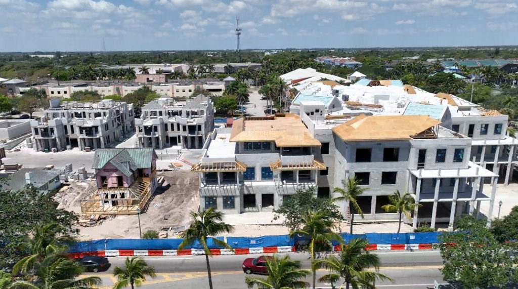
Drone maps help engineering and survey teams quickly achieve accurate topographic data to locate existing site grading, drainage spots, vegetation, and waterways. Construction firms find orthomosaics particularly useful for providing an updated picture of the construction site on a regular basis.


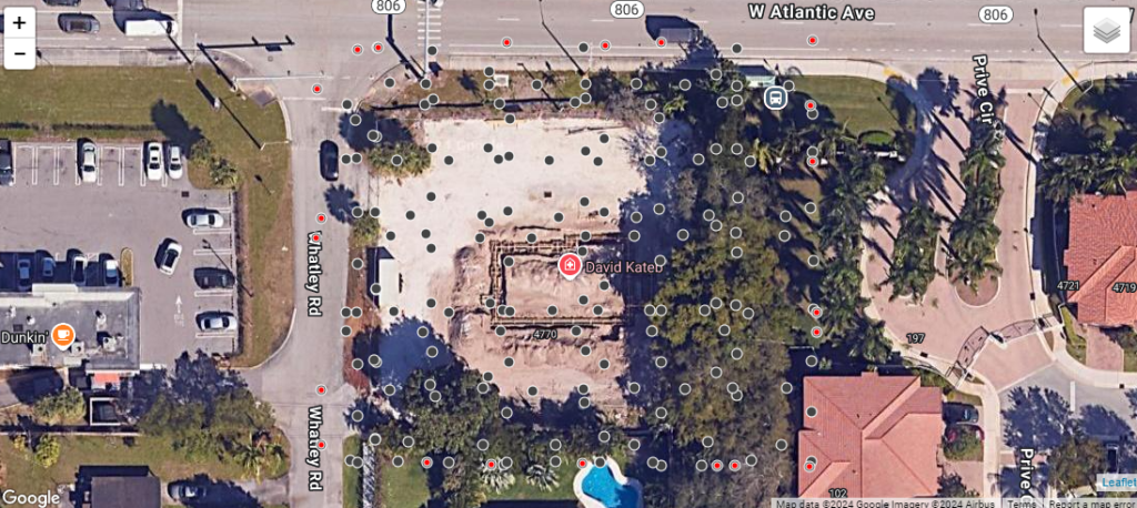
TAKE MEASUREMENTS WITH THE TOOLS ON THE LEFT MOUSE TO ZOOM
CLICK ON TERRAIN TO FIND LOCATION
High-Quality 2D Progression Map Overlay on Google Maps
Use the Tools On The Left To Take Measurements

Package Includes
SOUTH FLORIDA DRONES AND HDR PHOTO MEDIA IS NOT A SURVEY FIRM NOR IS IT AN ENGINEERING FIRM, NOR IS IT REGISTERED OR CREDENTIALED AS SUCH IN ANY STATE. SOUTH FLORIDA DRONES DOES NOT CLAIM TO PERFORM LEGAL SURVEYS OF ANY KIND. IMAGES PROVIDED BY SOUTH FLORIDA DRONES ARE FOR ILLUSTRATIVE PURPOSES ONLY AND CANNOT BE USED TO LEGALLY ESTABLISH OR DETERMINE ELEVATIONS, BOUNDARIES OR MEASUREMENTS. SOUTH FLORIDA DRONES IS HAPPY TO WORK WITH REGISTERED SURVEY OR ENGINEERING FIRMS TO SUPPLY AERIAL IMAGES AS A PART OF THEIR IMAGING PROCESSES.
SUNDAY TO SATURDAY 9AM-8PM